nivrip
Yorkshire Cruncher
- Joined
- Mar 21, 2007
- Messages
- 11,263
- Reaction score
- 2,198
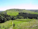
Parked at Clay Bank car park and then started walking uphill.

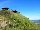
Almost at the top.

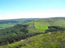
Looking back down towards car park in the trees.

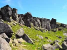
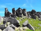
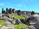
Arriving at The Wainstones, an outcrop of rocks which can be seen from many miles away. The name is said to be Saxon and means Grieving Stones as a Danish chieftain was supposedly killed here.

Some climbers at the top of one of the faces

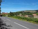
Chop Gate village.

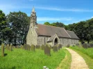
St. Hilda's church outside Chop Gate. Quite big considering there is barely any population within 20 miles.
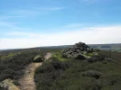
'Twas a beautiful sunny, warm day. Perfect for hiking.
Almost at the top.
Looking back down towards car park in the trees.
Arriving at The Wainstones, an outcrop of rocks which can be seen from many miles away. The name is said to be Saxon and means Grieving Stones as a Danish chieftain was supposedly killed here.
Some climbers at the top of one of the faces
Chop Gate village.
St. Hilda's church outside Chop Gate. Quite big considering there is barely any population within 20 miles.
'Twas a beautiful sunny, warm day. Perfect for hiking.

Attachments
-
 DSCF6574k.webp176.4 KB · Views: 144
 -
 DSCF6575k.webp176.7 KB · Views: 203
 -
 DSCF6576k.webp156.5 KB · Views: 270
 -
 DSCF6581k.webp176.4 KB · Views: 122
 -
 DSCF6582k.webp153.5 KB · Views: 252
 -
 DSCF6585k.webp162.4 KB · Views: 264
 -
 DSCF6590k.webp93.6 KB · Views: 119
 -
 DSCF6592k.webp117.9 KB · Views: 273
 -
 DSCF6593k.webp155.9 KB · Views: 292


